Law Enforcement
What Geo-Scan can do for your agency?
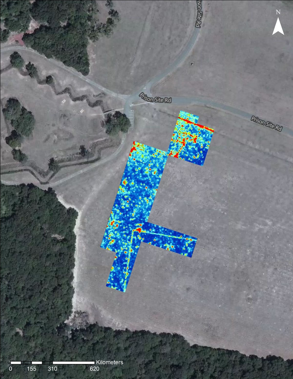
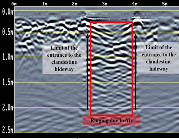
Ground penetrating radar is a key tool used by law enforcement and crime scene investigators for locating evidence behind brick or concrete walls, under wooden floors, or in hidden compartments, including clandestine burials and buried objects. It can be used to identify disruptions in soils, so even if the evidence itself is difficult to resolve, simply identifying that a hole was dug can point investigators in the right direction. It can also rule out suspect areas, which limits excavation, saving time and money.
Post Processing Services
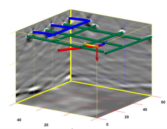
GEO-Scan uses RADAN® 7, GSSI’s state-of-the-art GPR post-processing software. A powerful and versatile software platform, and excels at processing 2D GPR profiles and creating 3D time slice datasets.
Post-processing GPR data is a critical component of surveys, that need more detail and when you need to see or show your client in a exactly what’s in the ground.
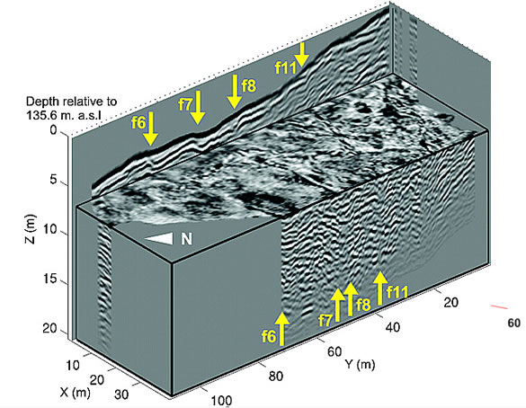
- 2D and 3D data for enhanced analysis
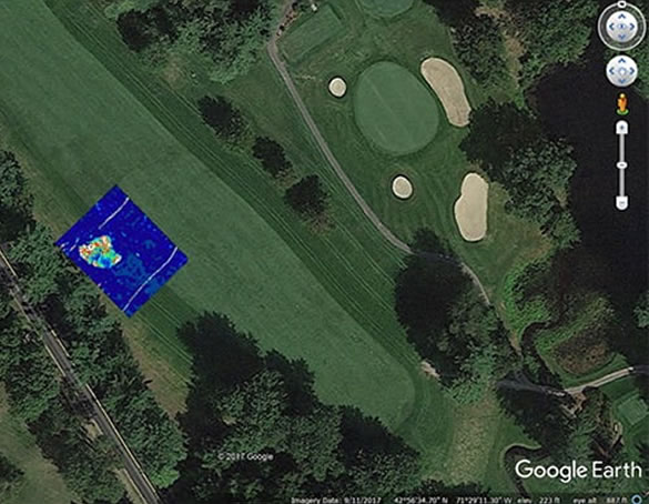
- Google Earth exported for easy use and share
- GPS mapped and abled to be seen and recreated
- 3D time slices showing an approximation pf depth.
- Multiple export methods and AutoCAD Target output – seamless output of interpreted data results to AutoCAD

