Geological & Environmental
Geological & Environmental Services
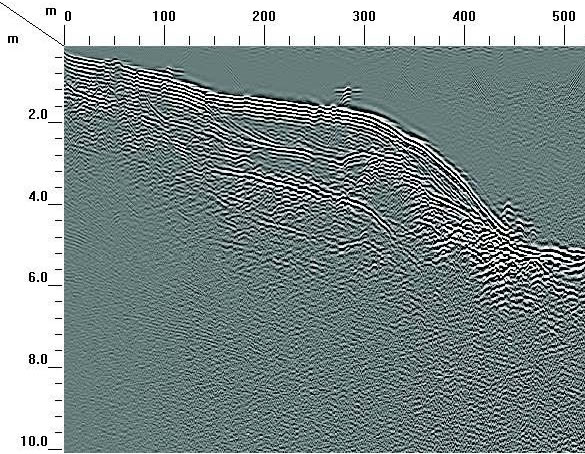
Geologic and environmental investigations are integral in determining the geology of any work site. Ground Penetrating Radar (GPR) used as Non-Destructive Testing for subsurface exploration remains one of the safest, quickest, and highest resolution survey options available. Researchers and professionals have been using GPR for geophysical investigation for nearly a century and the applications are seemingly endless. From depth to bedrock, ground water exploration, ice and snow investigation, geomorphology, bathymetry, stratigraphy and sedimentation, structural investigation (along with geohazards), and prospecting, GSSI offers a wide range of antenna frequencies with never before seen depth penetration and data quality.
Post Processing Services
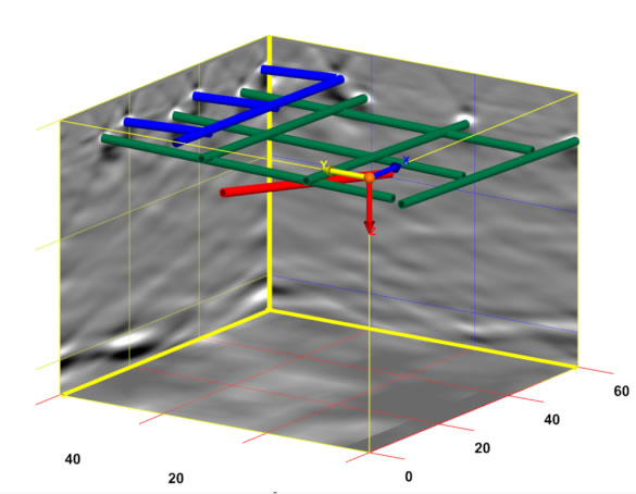
GEO-Scan uses RADAN® 7, GSSI’s state-of-the-art GPR post-processing software. A powerful and versatile software platform, and excels at processing 2D GPR profiles and creating 3D time slice datasets.
Post-processing GPR data is a critical component of surveys, that need more detail and when you need to see or show your client in a exactly what’s in the ground.
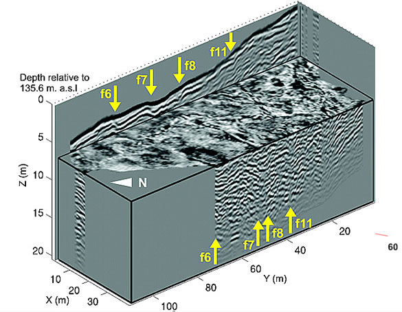
- 2D and 3D data for enhanced analysis
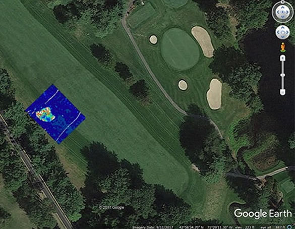
- Google Earth exported for easy use and share
- GPS mapped and abled to be seen and recreated
- 3D time slices showing an approximation pf depth.
- Multiple export methods and AutoCAD Target output – seamless output of interpreted data results to AutoCAD


