Post Processing
Post Processing Services
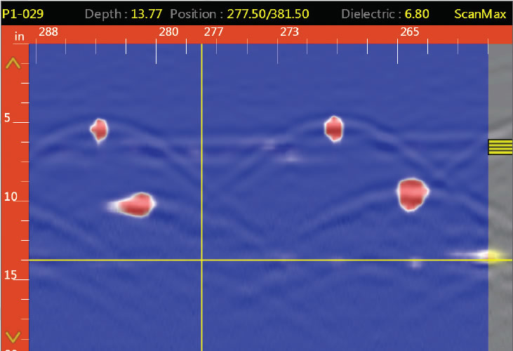
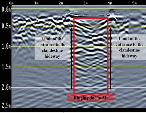
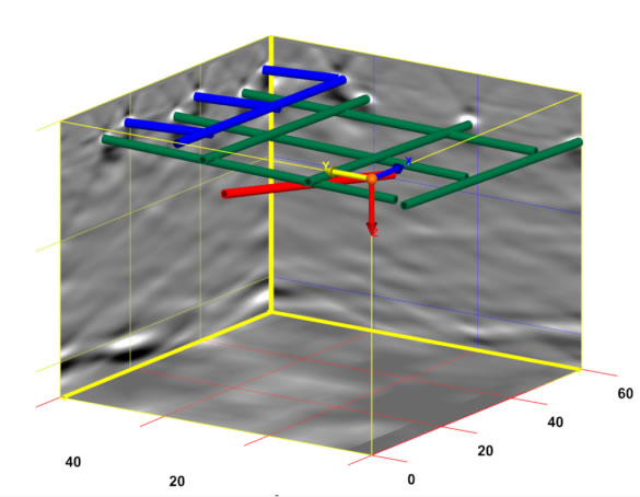
GEO-Scan uses RADAN® 7, GSSI’s state-of-the-art GPR post-processing software. A powerful and versatile software platform, and excels at processing 2D GPR profiles and creating 3D time slice datasets.
Post-processing GPR data is a critical component of surveys, that need more detail and when you need to see or show your client in a exactly what’s in the ground.
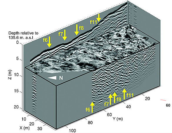
- 2D and 3D data for enhanced analysis
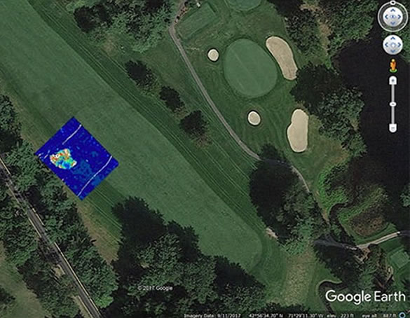
- Google Earth exported for easy use and share
- GPS mapped and abled to be seen and recreated
- 3D time slices showing an approximation pf depth.
- Multiple export methods and AutoCAD Target output – seamless output of interpreted data results to AutoCAD

