Utility Locating
Geo-Scan Utility Locating Services
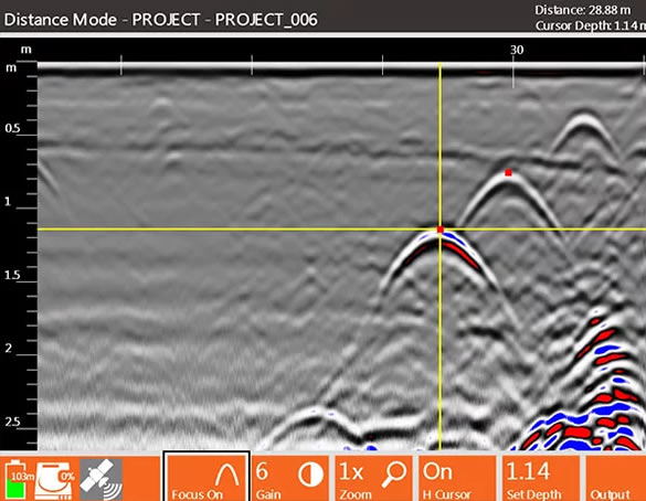
At GEO-SCAN we use a state of the art GSSI HyperStacking® technology that results in superior near surface resolution, deeper depth penetration, and vastly improved RF noise immunity when compared to traditional GPR antennas. HyperStacking (HS) real-time sampling (RTS)technique that improves performance while maintaining measurement speed and minimizing radiated emissions. The technique uses multiple stacking (averaging) during data acquisition in order to reduce random noise and improve data quality. This allows you to have better idea what obstacles you may encounter saving you time, money and resources.
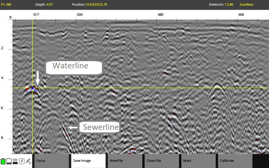
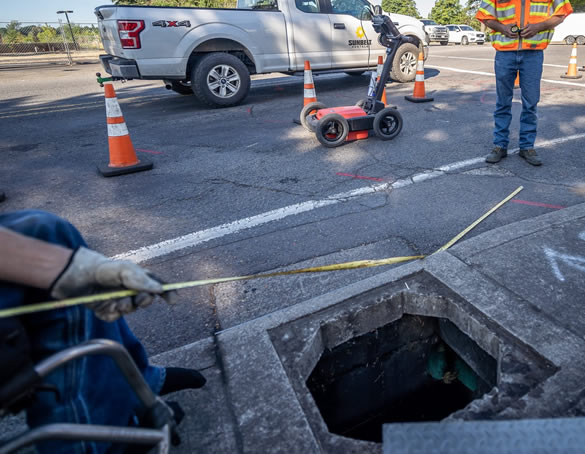
We can quickly identify and mark the position and depth of metallic and non-metallic objects; including utilities such as gas, communications and sewer lines as well as underground storage tanks and PVC pipes, All of our collected data is able to be post-processed allowing you to show your client in an easy to understand format
Post Processing Services
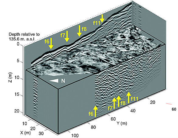
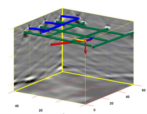
GEO-Scan uses RADAN® 7, GSSI’s state-of-the-art GPR post-processing software. A powerful and versatile software platform, and excels at processing 2D GPR profiles and creating 3D time slice datasets.
Post-processing GPR data is a critical component of surveys, that need more detail and when you need to see or show your client in a exactly what’s in the ground.
- 2D and 3D data for enhanced analysis
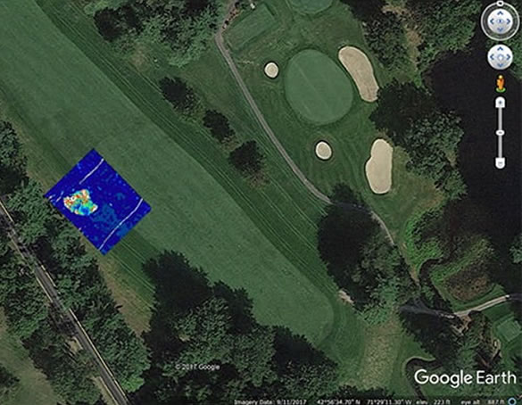
- Google Earth exported for easy use and share
- GPS mapped and abled to be seen and recreated
- 3D time slices showing an approximation pf depth.
- Multiple export methods and AutoCAD Target output – seamless output of interpreted data results to AutoCAD

